Run a command by keyboard#
Open the command palette for the things that have no button, and learn the single-key shortcuts for the tools.
Learn two tools early, because several things in Geo Map have no button at all. The first is the command palette. The second is the set of single-key tool shortcuts.
The command palette#
Press Ctrl+K, or Cmd+K on macOS, then type. The palette matches on command names and runs the highlighted command when you press Enter. The arrow keys move through the list, and Escape closes the palette.
It is the only route to some of the feature's capability. Every export, and the commands to save or open a project, exist here and nowhere else in the interface.
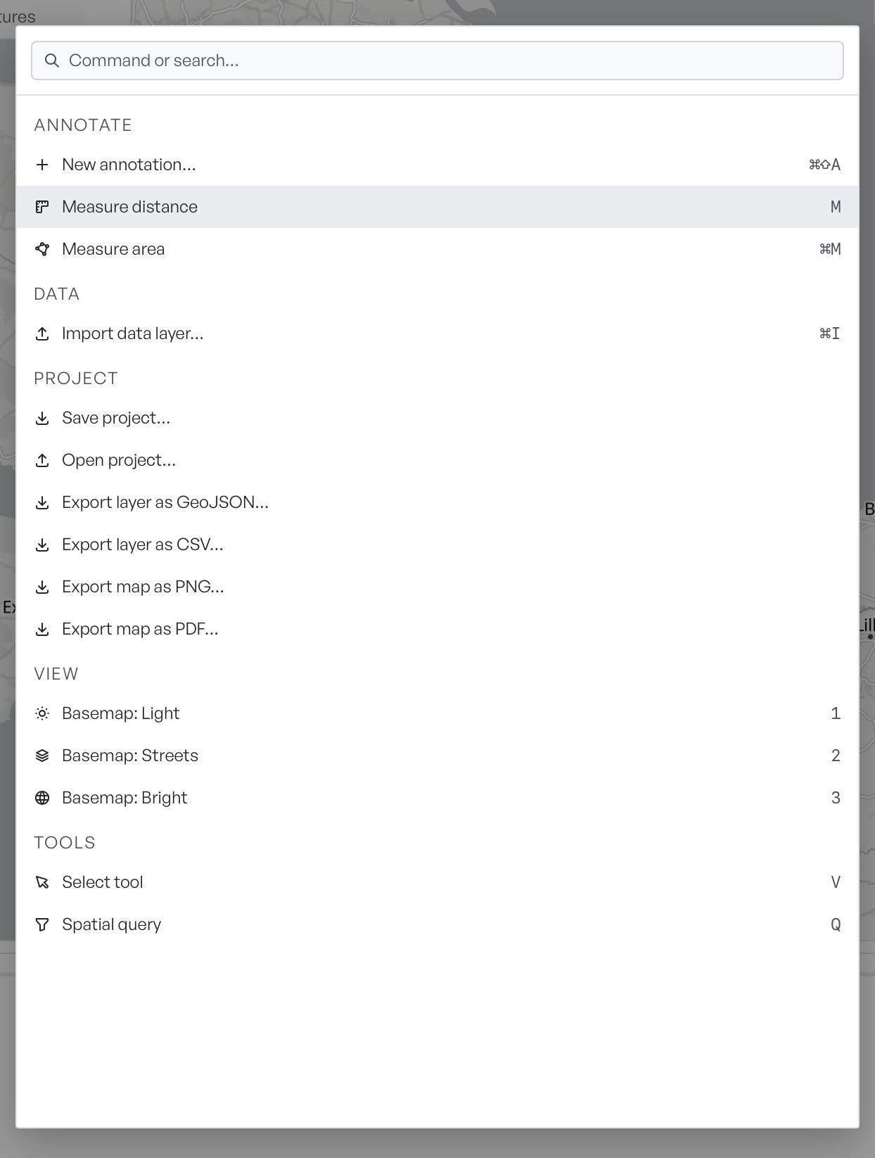
The palette groups commands by what they do:
| Group | Commands |
|---|---|
| Annotate | New annotation, Measure distance, Measure area |
| Data | Import data layer |
| Project | Save project, Open project, Export layer as GeoJSON, Export layer as CSV, Export map as PNG, Export map as PDF |
| View | Basemap: Light, Basemap: Streets, Basemap: Bright |
| Tools | Select tool, Spatial query |
Single-key tool shortcuts#
Tool shortcuts are single keys, with no modifier. Geo Map ignores them while you type into a field, so they never fire by accident mid-edit.
| Key | Action |
|---|---|
| V | Select tool |
| P | Point |
| L | Line |
| G | Polygon |
| R | Rectangle |
| C | Circle |
| T | Text label |
| M | Measure distance |
| Ctrl+K / Cmd+K | Open the command palette |
| Ctrl+I / Cmd+I | Import a data layer |
| Escape | Cancel the active tool, or close the palette |
Escape is the one to remember. On the map it also clears spatial query results, cancels a measurement you are part way through, dismisses the feature picker, and clears the current selection. Backspace cancels a tool in the same way as Escape.
Keys while drawing or editing#
A few keys mean something specific to what you do at the time.
While you measure, Enter or a double-click finishes the measurement, and Ctrl+Z or Cmd+Z removes the last vertex you placed. While you draw a spatial query, Enter or a double-click closes the region and runs the query.
In the attribute table, Enter selects the focused row and flies the map to it, and Ctrl+click or Cmd+click adds rows to a selection. In the name fields on annotations, overlays, and measurements, Enter commits and Escape reverts. On the coordinate readout, Enter or Space switches between decimal degrees and MGRS.